


July 29, 2026
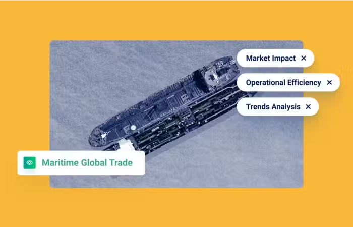
From Awareness to Action: Where Maritime Domain Awareness Is Heading


Unlocking next-level insights with earth observation data
What’s inside?
The earth observation industry is having a moment. Data technology leaders like Viasat, HawkEye 360, Inmarsat, and Planet, have hit the news with impressive funding rounds, acquisitions, and product milestones. And the global satellite-based earth observation market is only expected grow with a CAGR of 8.5% during 2020-2025. So what is contributing to this trend?
Earth observation data is seeing more demand as various industries have increasingly adopted image processing and geographical data to answer a number of different insights and analytics needs. Further, until recently, non-AIS data, such as satellite images and RF signal interceptions, were only available to a handful of countries. But now more than ever, these data resources have become commercially available, and the possibilities of how this data can impact workflows and insights are endless.
How exactly can earth observation data be used?
Players in the market have brought large-scale diversity to business applications. But going from data analytics to accurate insights demands strong tools and technology. Ultimately, insights are what organizations are after. And raw data can only take you so far. This is especially true in the maritime domain, where visibility is limited, and yet stakeholders need as much as they can get to combat threats in real-time. The saying goes, one picture can be worth a thousand words, and nowhere else in the maritime domain does this hold true. For example, take AIS data, which alone is not enough to accurately vet vessel activity.
How do you detect and classify the locations of non-AIS-equipped vessels or vessels that are operating while the AIS transponders are off? Or pinpoint possible meetings between non-emitting and emitting vessels? How do you locate potential objects at sea (like sinking vessels or containers)?
A clearer picture
Leveraging remote sensing data is the key to answering these questions. In addition, it goes a long way in validating vessel journeys.
A great example of this is GNSS manipulation. How can you validate that the manipulation actually took place without satellite imagery? Satellite imagery plays a crucial role in understanding if the vessel is where its transmission claims to be.
Or, in the case below, to uncover suspicious and anomalous activity. One of our customers was investigating vessels in the disputed areas of the South China Sea. But in a sea of data points, where do you start? First, they analyzed the region with L-Band mobile satellite, X-Band RADAR, and VHF Marine Comms. From there, they focused only on marine VHF radio frequencies to identify possible vessel activity. Then they added Planet’s satellite imagery to better contexualize the data. The result looked something like this:

Without the imagery, it would be impossible to know that there is a military base on Subi Reef. Further, Windward identified that two of the three vessels are Chinese fishing vessels. Why would fishing vessels be anchored in a government military base? Thanks to multi-layer data analytics tools, intelligence teams can begin to answer complex questions and discover leads for investigations.
Without the right context, the nature of maritime activity can be difficult to interpret.
Satellite imagery and RF signals can help confirm if the information transmitted via the AIS systems makes sense. It can also be a helpful resource to verify transmission data on the vessel size, type, location, and more. This step is mission-critical in identifying cases of identity laundering, location tampering, and other deceptive shipping practices. What’s the impact? Windward leverages daily satellite collection to help our partners fill in the gaps and more accurately vet risk. Further, our machine learning models deliver ready-to-go insights, so you don’t have to spend time dealing with raw data.
What’s next?
Geospatial intelligence (GEOINT) will only be more critical as bad actors improve their methods and depend on more sophisticated tools to get away with illicit activity. We’ve seen it already in the case of GNSS manipulation, where bad actors are getting more sophisticated with time – engineering their movements and location with near-perfect precision.
As the earth observation industry adds more sensors and creates more raw data, there will be a growing need for downstream analytics and insight technologies. And the benefits and applications of leveraging this data for better insights and visibility will only continue to grow.
Find out how we make it easy to streamline your risk operations with data from leading providers like HawkEye 360 and Planet.
Trending
- The EU’s 18th Sanctions Package Lookback Started. Trading Russian Products? You're At Risk. Nov 24, 2025
- Tanker Freight Rates Hit Five-Year High Amid Russian Oil Sanctions Shake-Out Nov 6, 2025
- Sanctioned, Stateless, and Still Sailing: Expert Insights from the Frontlines of Maritime Sanctions Nov 3, 2025
Explore more

CER Designation Has Started: What Cable Operators Need to Know
At a Glance The Designation Window Has Opened The July 17, 2026 deadline set by the Critical Entities Resilience Directive has passed. Under Article 6 of the Directive, EU member states were required to identify critical entities within their jurisdictions by that date, and to notify identified entities within one month of identification. Notifications began...
Read more

EU’s 21st Sanctions Package: Full Maritime Services Ban Shelved
The EU’s 21st sanctions package has been released and, as anticipated, the proposal for a full maritime services ban was shelved, allowing European shipowners and marine service providers to continue shipping Russia oil, so long as it is sold at prices below the Oil Price Cap. Most of the package had already been trailed, but...
Read more

Russia Is the Leading Flag for Shadow Fleet Tankers
WHAT: Russia is now the leading flag for the shadow fleet after shifting some 69 sanctioned ships to its registry since November 2025 in response to the interdiction of stateless tankers by U.S. and European militaries. More than one in five of the 1,000-plus tankers sanctioned by Western regulators now flies the Russian flag, Windward...
Read more

H1 2026: The Moving Target of Maritime Sanctions Compliance
The first major maritime sanctions deadline of 2026 arrived on January 21, when the EU’s refined-products ban began applying to fuels produced in third countries from Russian crude. That deadline set the tone for the months that followed: more granular rules, more infrastructure-linked exposure, and more time-bound permissions that compliance teams need to track alongside...
Read more

What the New OFAC-OFSI Comparative Overview Means for Maritime Sanctions Compliance
At a Glance The OFAC-OFSI Publication in Context The U.S. Department of the Treasury’s Office of Foreign Assets Control (OFAC) and His Majesty’s Treasury’s Office of Financial Sanctions Implementation (OFSI) are the offices responsible for enforcing economic sanctions implemented by the United States and the United Kingdom, respectively. The two offices established the OFAC-OFSI Enhanced...
Read more