


March 16, 2026
March 16, 2026: Iran War Maritime Intelligence Daily


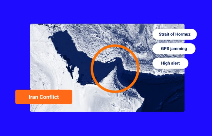
Shipping on Highest Alert After U.S. Strikes Iran. What Comes Next?
What’s inside?
As of now, the Strait of Hormuz remains open to maritime traffic following U.S. strikes on Iran’s nuclear facilities on Sunday. However, commercial shipping in the region is operating under the highest threat levels in more than two decades.
In retaliation for the strikes, Iran’s parliament passed a motion to close the Strait — a vital trade artery through which roughly a fifth of the world’s oil and gas flows. The move still requires approval from the National Security Council, which has yet to be granted.
At least two tankers were tracked diverting from Hormuz transits on Sunday, while other shipowners sought to minimize time spent in the Gulf.
On Sunday, the Joint Maritime Information Center (JMIC) raised the threat level for U.S.-linked commercial vessels in the Middle East from “elevated” to “high.”
Ships flagged, owned, operated, chartered, or carrying cargo connected to the U.S. were also advised to avoid the Red Sea and Gulf of Aden, further disrupting a second key trade chokepoint in the region.
Iran-allied Houthi rebels threatened on June 21 to resume attacks on U.S.- and Israeli-affiliated commercial maritime traffic if Washington escalated military action — effectively ending a ceasefire agreed in May.
Trade through the Red Sea and Suez Canal is already 60% below pre-Houthi attack levels from November 2023.
Strait of Hormuz: Sharp Drop in Activity
Windward data reveals that yesterday marked the lowest number of unique vessels entering the Strait of Hormuz since the beginning of the crisis — with a daily number of inbound voyages 28% lower than the weekly average.
Outbound movements mirrored the trend, registering a 16% drop in daily departures compared to the past week’s average. These declines underscore heightened caution among shipowners amid geopolitical uncertainty and signal the growing impact of perceived risks on real-time maritime behavior.
GPS Jamming Is Broad-Based, Not Targeted (For Now)
An unprecedented spike in GPS jamming targeting ships’ Automatic Identification System (AIS) signals worsened over the weekend, with Windward data showing a sharp escalation in disruption across key maritime corridors.
Over a 24-hour period, more than 23% of commercial vessels operating in the Arabian Gulf and transiting the Strait of Hormuz experienced GPS jamming, disrupting navigation in international shipping lanes.
Windward’s analysis found that no vessel type, flag, or country of beneficial ownership was disproportionately affected — suggesting that as of now jamming is broad-based rather than targeted.
Key findings from the weekend include:
- A 60% surge in GPS jamming incidents, affecting 1,600 vessels—up from a daily average of around 1,000 between June 13–20.
- AIS signals were manipulated and redirected to locations along Iran’s coast, including Bandar Abbas, Bushehr, Asalouyeh, and offshore positions near Ras Al Khaimah, Shaam, and Bandar Siraf.
Among the affected vessels, 271 ships over 5,000 deadweight tons (dwt) experienced interference. The most impacted vessel classes by tonnage were crude oil tankers, followed by bulk carriers, product tankers, and LNG carriers.
Full breakdown of affected vessels as per Windward Maritime AI™ data:


Here’s a more detailed breakdown of the affected vessels:
- 47 crude oil tankers, including 31 VLCCs (each capable of carrying up to 2 million barrels of crude)
- 65 product tankers
- 57 bulk carriers
- 21 large containerships, including those on Asia–Middle East services
- 16 LNG and 18 LPG carriers
Ships beneficially owned by Greece — the world’s largest shipowning nation — were most affected, followed by those owned by Japan and China. The most impacted flags were the Marshall Islands, Panama, and Liberia, which are also the world’s top three open registries.
Of the 1,600 vessels affected by jamming, roughly 550 lacked IMO numbers, indicating that most were small craft, such as fishing vessels, tugs, pleasure boats, and minor coastal traders.
With threat levels rising and vessel activity declining, the coming days will be critical in determining whether these disruptions remain short-term precautions or the start of a more prolonged shift in regional trade dynamics.
Explore more

March 16, 2026: Iran War Maritime Intelligence Daily
At a Glance Operational Overview Maritime activity across the Gulf and adjacent shipping systems remained heavily disrupted on March 15 as the conflict continued to distort commercial traffic patterns, energy flows, and maritime security conditions. Transit through the Strait of Hormuz remained near paralysis, with only three outbound vessels recorded and no inbound crossings. While...
Read more

March 15, 2026: Iran War Maritime Intelligence Daily
At a Glance Operational Overview Maritime activity across the Gulf maritime and energy system remained highly unstable on March 14 as the conflict entered its third week. Commercial transit through the Strait of Hormuz fell to a new low, with no AIS-confirmed vessel crossings recorded in either direction. The development marks the first visible halt...
Read more

Two Weeks Into the Iran War: A Maritime Intelligence Breakdown
At a Glance The Second Week of the Iran War at Sea Two weeks after the launch of Operation Epic Fury, the maritime conflict in the Gulf has shifted from immediate disruption to sustained systemic stress across global shipping networks. The initial days of the conflict triggered a rapid collapse in commercial confidence in the...
Read more

March 12, 2026: Iran War Maritime Intelligence Daily
At a Glance Operational Overview Maritime security conditions across the Gulf deteriorated further on March 11 as multiple coordinated attacks targeted commercial vessels across several operating environments, including open transit corridors, anchorage zones, and ship-to-ship transfer areas linked to regional oil exports. Commercial vessel activity through the Strait of Hormuz remains extremely limited. Only two...
Read more

March 11, 2026: Iran War Maritime Intelligence Daily
At a Glance Operational Overview Transit activity through the Strait of Hormuz remained heavily suppressed on March 10, with only two outbound crossings recorded and no inbound movements observed. While this represents a slight increase from the previous day, volumes remain far below normal operating levels and continue to reflect a severely disrupted commercial shipping...
Read more