


March 23, 2026
Iran Consolidates Control Over Hormuz Strait as Zombie Ship Transits New Corridor


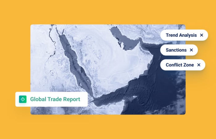
The Hodeidah Attack Temporarily Changed Shipping & Risk…Here’s How (Weekly Roundup)
What’s inside?
Windward made sure to quickly get you up-to-date on the Hodeidah port attack and its implications for the maritime and supply chain ecosystems. Now let’s go deeper and see the numbers behind rising dark activities and an increase in the daily average of anchoring operations in Port Said’s port waiting area (showing vessels may be trying to delay their entry to the area).
Also, following the Ceres I collision, it has become clear that a SURPRISING number of oil tankers engaged in AIS spoofing in the last month…
Lastly, British Authorities announced they added 11 vessels to their sanctions list that are part of Russia’s war efforts and the shadow fleet. Want to know which flags they were sailing under and who owned these vessels? Read on…
Escalation in Yemen and its Impact on Maritime Activity in the Red Sea
Another escalation occurred in the Middle East region last weekend, peaking with the attack on the Houthi-controlled port of Hodeidah on July 20. The Houthis have escalated their attacks against merchant vessels in the region since April, and they have targeted vessels away from the Bab el-Mandeb Strait, including the Arabian Sea and attacks closer to the Gulf of Aqaba.

- The Houthis claimed to attack and hit the Lobivia (IMO: 9228564) between June 18-19. It’s a Singapore-flagged container vessel that arrived at the Gulf of Aden region from India and the UAE. Based on Windward’s insights, the vessel is owned by Singapore-based companies and has mostly been active between Saudi Arabia, the Arabian Gulf, and East Asia.

- Following the attack, Windward data shows several phenomena that happened in the Red Sea that might correlate with the attack and illustrates the impact of geopolitical events on the maritime domain:
- The daily average of dark activities during the week prior to the attack (July 12-18) was eight. That daily average increased by 50% in the days following the attack (July 19-21), as vessels were likely scared to be targeted by the Houthis (the efficacy of shutting off the AIS is a different question)
Dark activities in the Red Sea and Aden region by low risk tankers and container vessels, June 26-July 21, 2024.
- During the same period of time (July 12-18 vs. July 19-21), data shows a 57% increase in the daily average of anchoring operations in Port Said’s port waiting area, north of the Suez Canal, by tankers and cargo vessels on a daily basis. Windward data has previously shown that sudden increases in anchoring in Suez usually happen after events related to the Red Sea Crisis, indicating vessels may be trying to delay their entry to the area.
- It should be noted that the increase in anchoring in Port Said shows possible congestion building in the area and might suggest increased delay for vessels that are sailing through the Red Sea (reminder: during the previous week, many vessels could not sail through the Cape of Good Hope due to severe weather conditions).
Anchoring in Port Said’s port waiting area by tankers and container vessels, June 27-July 21, 2024.
- As the Red Sea crisis continues to unfold, it is causing significant disruptions in maritime trade, evidenced by a substantial decrease in cargo and container vessels in the Red Sea. Concerns are growing over the safety and security of vessels. Rising insurance costs and the need to reroute ships around the Cape of Good Hope have led to increased shipping expenses, impacting all major carriers and reducing their shipping capacity, as noted recently by Maersk’s CEO. By utilizing Windward’s Maritime AI™ insights, it is possible to gain a clearer understanding of how geopolitical events affect maritime behavior and better assess their impact on the supply chain.
UK Sanctions against 11 Shadow Fleet Vessels
- The British Authorities announced they added 11 vessels to their sanctions list that are part of Russia’s war efforts and the shadow fleet. Open sources reported these vessels are the Zaliv Amurskiy (IMO: 9354313), SCF Amur (IMO: 9333436), SCF Pechora (IMO: 9333424), Korolev Prospect (IMO: 9826902), Primorsky Prospect (IMO: 9511533), Rocky Runner (IMO: 9288899), Dynamik Trader (IMO: 9286657), Adygeya (IMO: 9292204), Fighter Two (IMO: 9296391), NS Lotus (IMO: 9339337) and NS Commander (IMO: 9306794). All vessels were sanctioned for transporting oil or petroleum products from Russia to a third country.
- Based on Windward’s data, 64% of these vessels are sailing under the flag of Gabon, which has previously been used by vessels owned by the sanctioned company Pao Sovcomflot; 27% are sailing under the flag of Cook Islands; and 9% under the flag of Panama; all are recognized as flags of convenience.
- Windward data shows that prior to the sanctions, all vessels were classified in the Windward Russia Risk model as high risk related to Russia. Most of them were flagged as early as March 2022.
- Based on Windward’s ownership data, 46% of the vessels are owned by UAE-only companies, while other vessels are owned by only Russian companies (27%), or a mixture of Russian and UAE-based companies (27%). As mentioned by public sources, the UK has started actively sanctioning Russian-related vessels since May 2024. These acts seem to be part of a joint “call to action” with other EU countries to disrupt the shadow fleet’s activity. By using Windward’s Russia Risk model, it is possible to detect vessels affiliated with Russia and possible sanction breaches, and understand where these vessels tend to operate.
How Many Oil Tankers are Engaging in AIS Spoofing?!
The collision between two large oil tankers on Friday, July 19 near Singapore, the world’s biggest refueling port, raised concerns. A Singapore-flagged tanker and the Sao Tome and Principe-flagged tanker Ceres I were about 55 km (34 miles) northeast of the Singaporean island of Pedra Branca on the eastern approach to the Singapore Straits, the Maritime and Port Authority of Singapore (MPA) said.
The Ceres I had irregular AIS patterns at the time of the collision, as well as multiple times in the past, suggesting possible location (GNSS) manipulation (AIS spoofing).
This is NOT an isolated incident of location (GNSS) manipulation…
There have been 127 oil tankers engaged in AIS spoofing around the world in the past 30 days alone. These vessels are especially dangerous – huge ships carrying enormous amounts of flammable materials and not transmitting their accurate positions while navigating crowded waterways.
Also, shadow fleet ships are usually older vessels that are not very well maintained, adding to the risk involved. All of these factors pose an extreme risk to both the environment and human life.
Trending
- The EU’s 18th Sanctions Package Lookback Started. Trading Russian Products? You're At Risk. Nov 24, 2025
- Tanker Freight Rates Hit Five-Year High Amid Russian Oil Sanctions Shake-Out Nov 6, 2025
- Sanctioned, Stateless, and Still Sailing: Expert Insights from the Frontlines of Maritime Sanctions Nov 3, 2025
Explore more

Russia Expands Dark Fleet of LNG Carriers
At a Glance Covert Transfers and Reflagging Activity Three 20-year-old liquefied natural gas (LNG) carriers were recently sold to a newly formed company in Türkiye, with two subsequently reflagged to Sierra Leone, a ship registry favored by Russia’s dark fleet. All three LNG carriers have yet to signal their next destination to load a post-sale...
Read more

Distress or Deception? Sea Horse ‘Not Under Command’ While Delivering Cuba Gasoil
At a Glance Sea Horse, a medium range tanker sailing for Cuba laden with Russian gasoil has been broadcasting it is “not under command” and that it is drifting in the Sargasso Sea for nearly three weeks. AIS tracking suggest the Hong Kong-flagged tanker has now resumed its voyage for Cuba and is set is...
Read more

U.S. Treasury Expands Pressure on Iran’s Shadow Fleet and Weapons Procurement Networks
At a Glance Expanding Pressure on Iran’s Maritime and Weapons Networks On February 25, 2026, the U.S. Department of the Treasury’s Office of Foreign Assets Control (OFAC) designated more than 30 individuals, entities, and vessels linked to Iran’s shadow fleet and to networks supporting ballistic missile and advanced conventional weapons production. The action targets two...
Read more

The EU Maritime Services Ban That Didn’t Pass: Implications for Russian Trade
At a Glance A Sanctions Escalation That Stalled The European Union’s proposed maritime services ban on Russia was expected to mark a structural escalation in sanctions enforcement. Instead, EU ministers failed to reach an agreement, delaying the adoption of the bloc’s 20th sanctions package after opposition led by Hungary, with at least one other member...
Read more

Russian Diesel Tanker Sails for Cuba as U.S. Order Blocks Oil Imports
A tanker carrying Russian diesel is sailing for Cuba even as tightening U.S. pressure on the island’s fuel supply has forced other shipments to abort voyages or cancel loadings. Vessel Movements, AIS Changes, and Cargo Origin The Hong Kong-flagged medium-range tanker initially broadcast Havana as its destination on February 7, then altered its AIS signal...
Read more